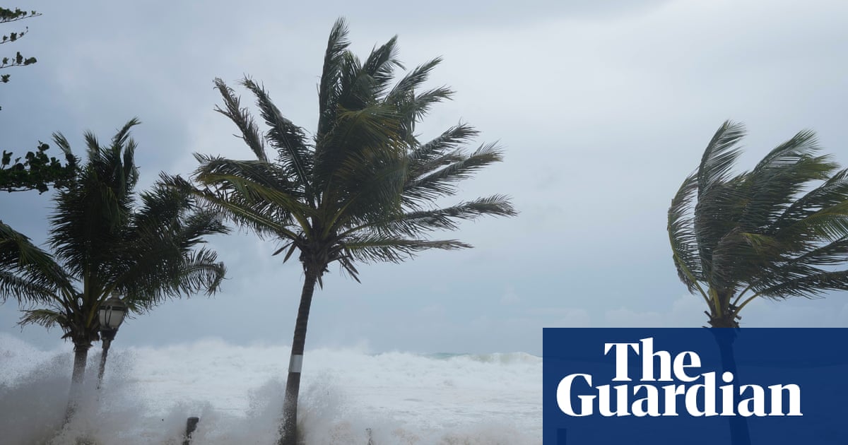
Hurricane Beryl has made landfall on the Caribbean island of Carriacou after becoming the earliest storm of its strength to form in the Atlantic, fueled by record warm waters.
Carriacou is one of the islands of Grenada, where officials said winds increased up to 150mph (240km/h), blowing off roofs and causing other damage.
“This is an extremely dangerous and life-threatening situation,” the National Hurricane Center said.
Hurricane warnings were in effect for Barbados, Grenada, St Lucia, Tobago, and St Vincent and the Grenadines as thousands of people hunkered down in homes and shelters hoping for the best.
“It’s going to be terrible,” Ralph Gonsalves, the prime minister of St Vincent and the Grenadines, said ahead of the storm as he urged people to stay indoors “and wait this monster out”.
The last strong hurricane to hit the south-east Caribbean was Hurricane Ivan nearly 20 years ago, which killed dozens of people in Grenada.
Beryl was 125 miles (200km) east and south-east of Grenada earlier on Monday. It had maximum sustained winds of 120mph (193km/h) and was moving west at 20mph. It was a compact storm, with hurricane-force winds extending 35 miles from its center.
A tropical storm warning was in effect for Martinique and Trinidad. A tropical storm watch was issued for Dominica, Haiti’s entire southern coast, and from Punta Palenque in the Dominican Republic west to the border with Haiti.
Forecasters warned of a life-threatening storm surge of up to 9ft (3 meters) in areas where Beryl will make landfall, with 3-6in (7.6-15cm) of rain for Barbados and nearby islands and possibly 10in in some areas, especially in Grenada and the Grenadines.
“This is a very dangerous situation,” warned the National Hurricane Center in Miami.
The storm was expected to weaken slightly over the Caribbean Sea on a path that would take it just south of Jamaica and later toward Mexico’s Yucatán peninsula as a category 1.
“It should be emphasized that Beryl is forecast to remain a significant hurricane during its entire trek across the Caribbean region,” the National Hurricane Center said.
Beryl strengthened from a tropical depression to a major hurricane in just 42 hours – a feat accomplished only six other times in Atlantic hurricane history, and with 1 September as the earliest date, according to hurricane expert Sam Lillo.
It also was the earliest category 4 Atlantic hurricane on record, besting Hurricane Dennis, which became a category 4 storm on 8 July 2005.
“This is a dangerous hurricane for the Windward Islands,” said hurricane specialist and storm surge expert Michael Lowry, who warned that when Beryl comes ashore, “it’s going to be a very serious situation.”
Beryl amassed its strength from record warm waters that are hotter now than they would be at the peak of hurricane season in September, he said. Experts say the hotter water temperatures are a result of the global climate crisis driven primarily by the burning of fossil fuels.
Beryl also marked the farthest east that a hurricane has formed in the tropical Atlantic in June, breaking a record set in 1933, according to Philip Klotzbach, a Colorado State University hurricane researcher.
Beryl is the second named storm in the Atlantic hurricane season, which runs from 1 June to 30 November. Earlier this month, Tropical Storm Alberto made landfall in north-east Mexico and killed four people.
Source: theguardian.com


