UK weather live blog:
-
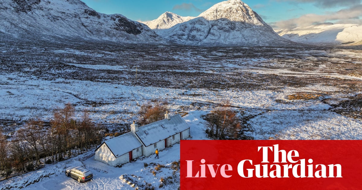
The UK is braced for an icy blast, with temperatures set to plummet as low as -16C, as a fresh amber snow warning has been issued. The amber weather warning for snow covers most of the south-west of the UK until 9pm this evening. The Met Office yellow weather warning for snow covering southern counties of England remains in place until midnight on Wednesday.
-
Snow and sleet began to hit southern England on Wednesday afternoon as the amber alert came into force with the Met Office saying further warnings are likely to be issued as the week goes on.
-
Up to 10 cm of snow could hit high ground in southern England this afternoon and evening. Power cuts are likely, the national weather service said, and delays and cancellations to rail and air travel are also expected.
-
Police in Devon and Cornwall have urged drivers to wait until the snow on Wednesday afternoon passes to carry out their journeys unless they are absolutely necessary. Parts of Cornwall, Devon, Dorset and Somerset are included in the amber snow warning, which is in place from 2.30pm until 9pm on Wednesday. A further yellow warning for snow and ice affecting Cornwall, much of Wales and parts of north-west England has also been issued from 3am until noon on Thursday.
-
The UK Health Security Agency (UKHSA) has extended its cold weather health alert for all of England until Sunday. Amber alerts issued on Thursday last week have been extended and will now run until 12 January, meaning a rise in deaths is likely, the agency said.
-
Yellow warnings for snow and ice remain in place across parts of Scotland and Northern Ireland. A yellow-level snow and ice warning was also announced for Northern Ireland, with the UK Met Office advising of a risk of injuries from slips and falls on icy surfaces. That warning was due to expire at midday on Wednesday.
-
Thousands of people remained without power on Wednesday during a bitter cold spell across Ireland. Ireland was under weather warnings coming into Wednesday morning, with temperatures as low as -6C recorded in parts at 9am. Temperatures were expected to plummet even further to around -8C overnight into Thursday, before conditions begin to improve on Friday and into the weekend.
-
All of Ireland is on at least a status yellow low temperature and ice warning until midday on Friday, but more severe alerts will also apply to the vast majority of the country.
-
More than 60 schools in northern Scotland are closed as snow and ice warnings remain in force across much of the country. Forecasters also predict that further rain, sleet and snow showers could lead to some disruption to travel on Wednesday, with longer journey times possible. A Met Office yellow warning of snow and ice in the north, north-east and west of Scotland was in place until midday.
-
A separate warning of snow and ice in Aberdeen, Aberdeenshire, Moray, the Highlands of Scotland, Western Isles, Orkney and Shetland came into force at midday and will run until midnight on Thursday.
-
As icy conditions persist, motorists are being urged to stick to major roads that are most likely to have been gritted. Car insurer RAC said it has seen the highest levels of demand for rescues in a three-day period since December 2022.
-
Oli Claydon, spokesperson for the Met Office, told the PA news agency it will be “bitterly cold” on Thursday night. He said the lowest temperatures will be recorded in rural Scotland and rural northern England where there is lying snow, cloudless skies and very cold airflow.
-
Scores of flood warnings and alerts remain in place for England but more than 200 have been removed in the last 24 hours and the weather is set to be drier over the next few days. One flood warning is in place for the River Wye at Monmouth and four flood alerts are in place for the rest of Wales on Wednesday, Natural Resources Wales said.
-
Since New Year’s Eve, the Environment Agency estimates that more than 41,000 properties have been protected across England, but at least 300 properties have flooded. Snowmelt has brought further disruption to parts of England, particularly in the Midlands, after the heavy rainfall over the new year that saw significant river and surface water flooding across the north-west of England and Yorkshire, the Environment Agency said.
-
The Environment Agency urged people to avoid swollen rivers as river flooding alerts and warnings remain in place through the Midlands and across parts of England. In a social media post, the agency said that swollen rivers should be avoided due to strong currents that can sweep you off your feet.
-
Great Britain’s energy grid operator has asked power plant owners to provide extra electricity by Wednesday evening as freezing temperatures take hold. Demand for electricity is expected to climb between 4pm and 7pm as fresh weather warnings take effect across England, with snow expected as far south as London.
Extreme weather events can be very unpredictable and carry very real risks.
You can tell us how you have been affected by the bad weather in the UK by filling in the form at the link below, or by messaging the team on WhatsApp on +447766780300.
Please share your story if you are 18 or over, anonymously if you wish. For more information please see our terms of service and privacy policy.
A disabled retiree told the PA news agency tht he is “frustrated” after snow left him unable to use the car he calls his “lifeline”.
Allan Fawcett, 77, has been stuck in his cul-de-sac in Yeadon, West Yorkshire, since Sunday due to the snow, although his 74-year-old wife has managed to go out to buy necessities.
He told the PA news agency:
I’m frustrated; I’m disabled, I can barely walk 10 yards without being in pain and I rely on my car to get about; it’s a lifeline to me.
I’ve got an automatic car and it just won’t move as we’ve got about three inches of snow and below that, there’s about two inches of solid packed ice.
I’m also one of the pensioners that lost my heating allowance, so that doesn’t help.”
Fawcett pleaded for outside his home to be gritted, adding he and his wife usually look after their two great-grandsons three days a week but have been unable to help because of their situation.
Police in Devon and Cornwall have urged drivers to wait until the snow on Wednesday afternoon passes to carry out their journeys unless they are absolutely necessary, reports the PA news agency.
Parts of Cornwall, Devon, Dorset and Somerset are included in the amber snow warning, which is in place from 2.30pm until 9pm on Wednesday.
In a post on X, Devon and Cornwall police said snowfall is being reported in the counties and more bursts are on the way.
Here are some of the latest images from today coming in via the newswires:
A new amber weather warning for snow has been issued for south-west England as fresh flurries hit the region. Parts of Cornwall, Devon, Dorset and Somerset are covered and the alert is in place until 9pm tonight.
The Met Office has warned of travel disruption caused by the snow and said some vehicles and passengers could become stranded.
Up to 10 cm of snow could hit high ground in the region this afternoon and evening. Power cuts are likely, the national weather service said, and delays and cancellations to rail and air travel are also expected.
The Met Office has urged drivers to take extra care on the roads this afternoon and evening during snowy weather. It has also published five tips for driving in snow:
-
Accelerate gently, using low revs. You may need to take off in second gear to avoid skidding.
-
You may need 10 times the normal gap between your car and the car in front.
-
Try not to brake too suddenly – it may lock up your wheels and you could skid further.
-
Be extra cautious at road junctions where road markings may not be visible.
-
Look out for winter service vehicles spreading salt or using snowploughs and only overtake if it is safe to do so.
Source: theguardian.com


